Core Survey Service
Drone Survey Mapping
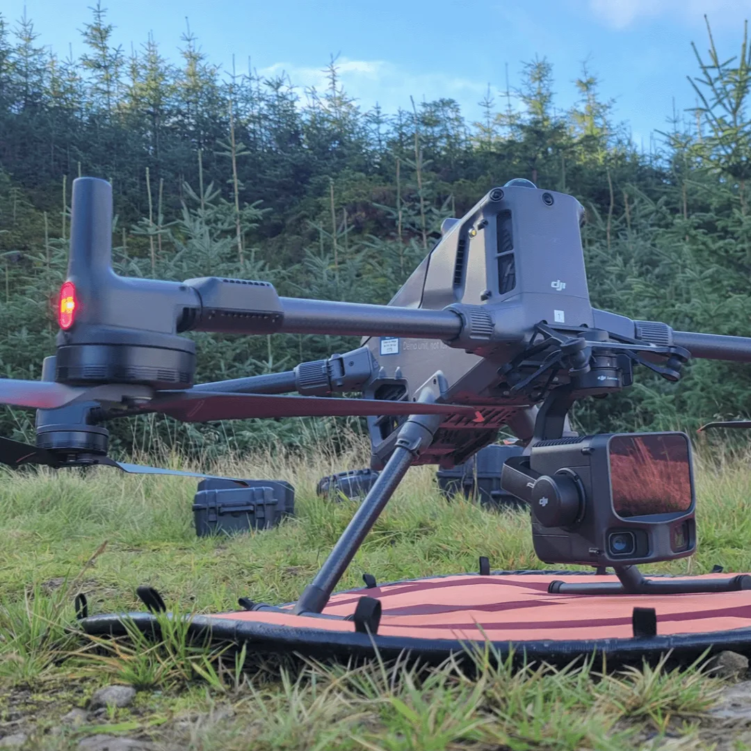
Our aerial drone LiDAR service is built for sites that need high-density, flexible capture with rapid deployment. We process raw sensor data through trajectory refinement, strip adjustment, classification, and quality control to produce accurate, decision-ready outputs.
Products Delivered
- Classified point clouds
- DTM/DSM surfaces and contours
- Vegetation metrics and slope products
- GIS/CAD-ready datasets
End Users
- Engineering consultants
- Mining and environmental teams
- Utilities and construction project teams
- Asset and infrastructure planners
Related projects: View featured drone surveying projects.